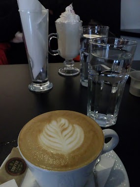
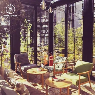
Cafe nearby Kafe-Picerija Dvorište
Serbia
Cafe nearby Kafe-Picerija Dvorište
Kafe-Picerija Dvorište
Belgrado, Serbia
contacts phone
:
+381 63 339808
Latitude:
44.7884833
, Longitude:
20.4375207
larger map & directions
read more
nearest Cafe
20 m
Java Coffee Serbia
Andre Nikolića 1, Beograd
Cafe
read more
125 m
Мој Кафе
Andre Nikolića 3, Beograd
Cafe
read more
192 m
Coffee Dream
Andre Nikolića 2v, Beograd
Cafe
read more
259 m
kafe
Vase Pelagića 48, Beograd
Cafe
read more
382 m
Igraonica Pumba
Sanje Živanovića 19, Beograd
Cafe
read more
442 m
Wrestler Coffee
Vojislava Vučkovića 17, Beograd
Cafe
read more
1.002 km
Кафић Краљевска Трибина
Paštrovićeva 9, Beograd
Cafe
read more
1.102 km
Cialis Prodaja
Savski Venac, Beograd
Cafe
read more
1.108 km
Caffe Požuri polako
Bulevar vojvode Mišića 14, Beograd
Cafe
read more
1.304 km
House of Coffee
11 ZELENI VENAC, 11040, Belgrade (Savski Venac), Belgrade county
Cafe
read more
1.505 km
Kafeterija Pauzica
8, Zrmanjska, Beograd
Cafe
read more
1.629 km
Caffe Antico
Lješka 2, Beograd
Cafe
read more
1.688 km
Caffe-bar NAUTILUS
Turgenjeva 5, Beograd
Cafe
read more
1.954 km
Café De la Gare
Sarajevska 55, Beograd
Cafe
read more
2.107 km
Caffe Garaza
Heroja Milana Tepića 10, Beograd
Cafe
read more
2.122 km
Coffee Dream
Resavska 78a, Beograd
Cafe
read more
2.133 km
Coffee Friends
38 LOKAL 5 SARAJEVSKA, 11040, Beograd (Savski Venac), Grad Beograd
Cafe
read more
2.263 km
Libra
51 KNEZA MILOSA, 11040, Belgrade (Savski Venac), Belgrade county
Cafe
read more
2.304 km
Toffee Cafe
Beogradskog bataljona 9, Beograd
Cafe
read more
2.359 km
Kafeterija Family Cup Banovo Brdo
Nedeljka Čabrinovića 65, Beograd
Cafe
read more
2.366 km
Kafeterija Banovo Brdo
Požeška 128, Beograd
Cafe
read more
2.395 km
БА - ЗА
Vladimira Gaćinovića 30, Beograd
Cafe
read more
2.48 km
Kafe Roda
83A POZESKA, 11030, Belgrade (Cukarica), Belgrade county
Cafe
read more
2.545 km
Caffe TOUCH
Požeška 89, Beograd
Cafe
read more
2.569 km
Irsih Pub Darkman
Basta RS, 11030, Mira Popare 9, Beograd
Cafe
read more
📑
all categories
Accounting
Administrative area level 2
Airport
Amusement park
Aquarium
Art gallery
Atm
Bakery
Bank
Bar
Beauty salon
Bicycle store
Book store
Bowling alley
Bus station
Cafe
Campground
Car dealer
Car rental
Car repair
Car wash
Casino
Cemetery
Church
City hall
Clothing store
Colloquial area
Convenience store
Courthouse
Dentist
Department store
Doctor
Electrician
Electronics store
Embassy
Establishment
Finance
Fire station
Florist
Food
Funeral home
Furniture store
Gas station
General contractor
Grocery or supermarket
Gym
Hair care
Hardware store
Health
Home goods store
Hospital
Insurance agency
Jewelry store
Laundry
Lawyer
Library
Light rail station
Liquor store
Local government office
Locality
Locksmith
Lodging
Meal delivery
Meal takeaway
Mosque
Movie rental
Movie theater
Moving company
Museum
Natural feature
Neighborhood
Night club
Painter
Park
Parking
Pet store
Pharmacy
Physiotherapist
Plumber
Point of interest
Police
Post office
Premise
Real estate agency
Restaurant
Roofing contractor
Rv park, camping
School
Shoe store
Shopping mall
Spa
Stadium
Storage
Store
Supermarket
Synagogue
Taxi stand
Train station
Transit station
Travel agency
University
Veterinary care
Zoo
administrative area level 3
sublocality level 1
↑