Supermarket nearby RODA MEGA
Serbia
Supermarket nearby RODA MEGA
RODA MEGA
Belgrade, Serbia
contacts phone
:
+381 800 000500
website:
www.roda.rs
Latitude:
44.8096977
, Longitude:
20.3969293
larger map & directions
read more
nearest Supermarket
2.177 km
Maxi
Bulevar Milutina Milankovića 26, Beograd
Supermarket
read more
2.4 km
Maxi
Luja Adamiča 2, Beograd
Supermarket
read more
2.421 km
Market Rekic
Bulevar Zorana Đinđića 11079, Beograd
Supermarket
read more
2.456 km
大DM
Bulevar Mihajla Pupina 175, Beograd
Supermarket
read more
2.5 km
Maxi
Palmira Toljatija 7, Beograd
Supermarket
read more
2.603 km
Idea
Belgrade
Supermarket
read more
2.688 km
Maxi
Goce Delceva 28, Beograd
Supermarket
read more
2.762 km
TSV
Generala Ždanova 24, Beograd
Supermarket
read more
2.89 km
Maxi
Džona Kenedija 10, Beograd
Supermarket
read more
2.933 km
Zlatiborska Carstva
66A PALMIRA TOLJATIJA, 11080, Beograd (Zemun), Grad Beograd
Supermarket
read more
3.036 km
StrNana
Džona Kenedija, Beograd
Supermarket
read more
3.04 km
Tempo Ada
Obrenovački put 3, Београд
Supermarket
read more
3.041 km
Svrati u Fenix
Џона Кенедиja 9b,, Beograd
Supermarket
read more
3.08 km
Maxi
Džona Kenedija 10a, Земун
Supermarket
read more
3.247 km
Aman
Prve pruge, Beograd
Supermarket
read more
3.273 km
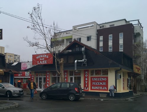
Mesara kod Laze
Starca Vujadina 12, Beograd
Supermarket
read more
3.301 km
Idea
Turgenjeva 10, Beograd
Supermarket
read more
3.78 km
Veliki sevis
Ugrinovačka 1, Beograd
Supermarket
read more
3.995 km
Idea
Marka Nikolića 9, Beograd
Supermarket
read more
4.003 km
Maxi
Koste Glavinića 2, Beograd
Supermarket
read more
4.081 km
Maxi
Andre Nikolića 3, Beograd
Supermarket
read more
4.121 km
Aroma market
Andre Nikolića 2b, Beograd
Supermarket
read more
4.168 km
Maxi
Gospodska 21, Beograd
Supermarket
read more
4.475 km
Market Vishegradska
Belgrade
Supermarket
read more
5.146 km
KAMAGRA SRBIJA
Belgrade
Supermarket
read more
📑
all categories
Accounting
Administrative area level 2
Airport
Amusement park
Aquarium
Art gallery
Atm
Bakery
Bank
Bar
Beauty salon
Bicycle store
Book store
Bowling alley
Bus station
Cafe
Campground
Car dealer
Car rental
Car repair
Car wash
Casino
Cemetery
Church
City hall
Clothing store
Colloquial area
Convenience store
Courthouse
Dentist
Department store
Doctor
Electrician
Electronics store
Embassy
Establishment
Finance
Fire station
Florist
Food
Funeral home
Furniture store
Gas station
General contractor
Grocery or supermarket
Gym
Hair care
Hardware store
Health
Home goods store
Hospital
Insurance agency
Jewelry store
Laundry
Lawyer
Library
Light rail station
Liquor store
Local government office
Locality
Locksmith
Lodging
Meal delivery
Meal takeaway
Mosque
Movie rental
Movie theater
Moving company
Museum
Natural feature
Neighborhood
Night club
Painter
Park
Parking
Pet store
Pharmacy
Physiotherapist
Plumber
Point of interest
Police
Post office
Premise
Real estate agency
Restaurant
Roofing contractor
Rv park, camping
School
Shoe store
Shopping mall
Spa
Stadium
Storage
Store
Supermarket
Synagogue
Taxi stand
Train station
Transit station
Travel agency
University
Veterinary care
Zoo
administrative area level 3
sublocality level 1
↑